About Pawtuckaway State Park
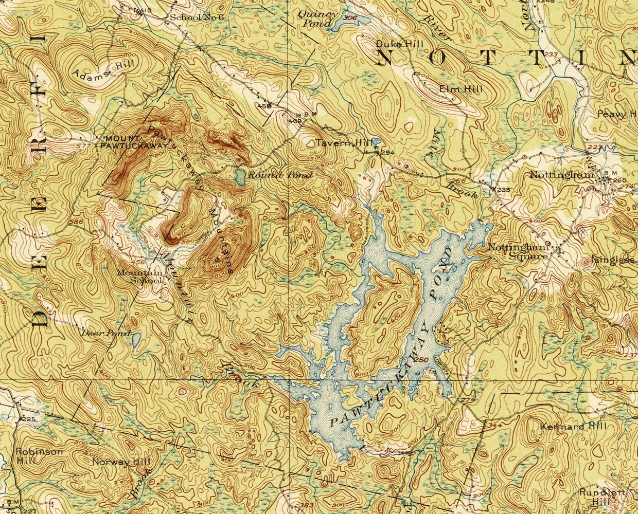
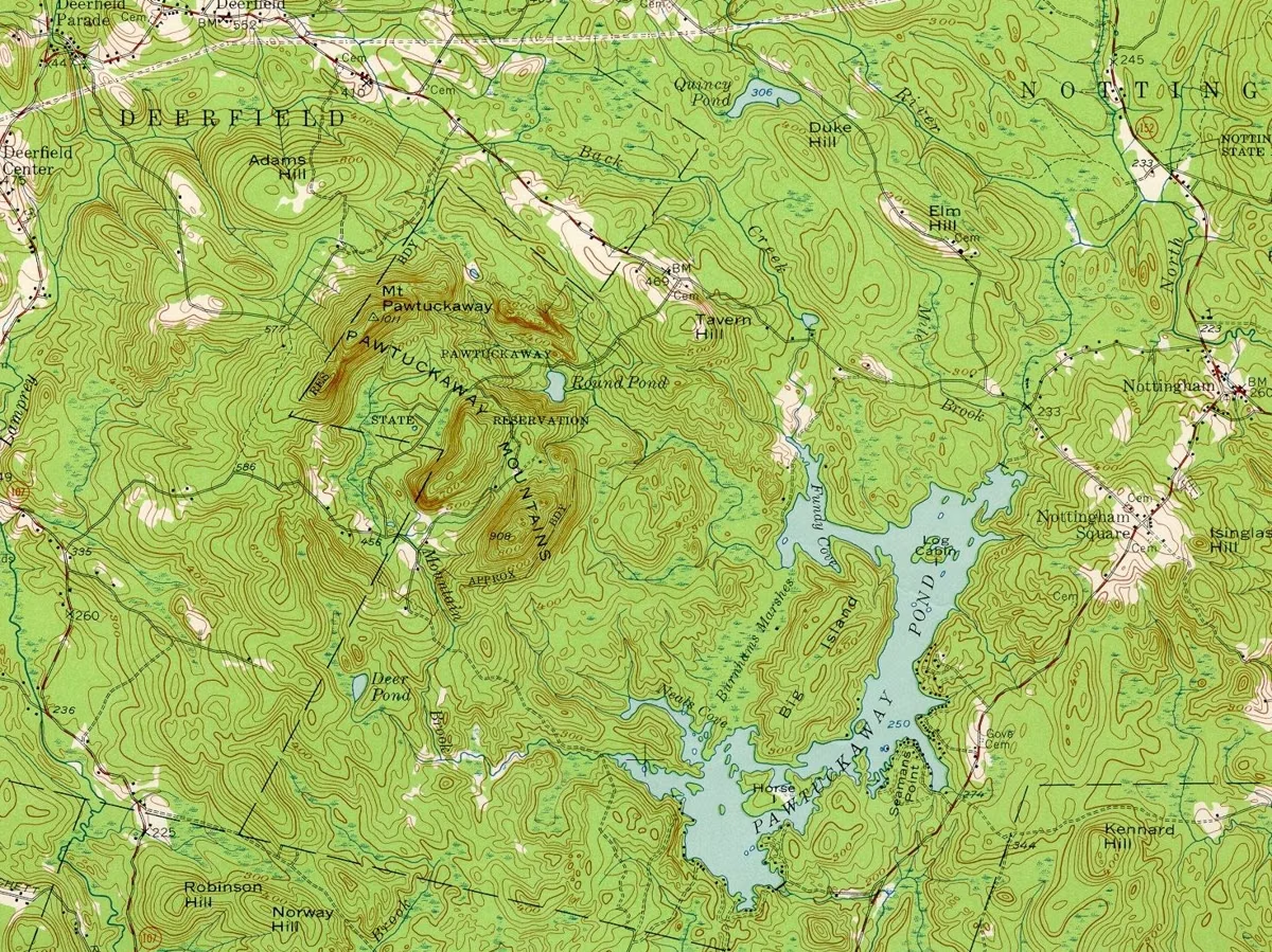
Pawtuckaway State Park is a 5,500-acre state park in Nottingham and Deerfield, New Hampshire, built around the Pawtuckaway Mountains, a small circle of rocky hills that is the outline of an ancient volcanic ring dike. NH State Parks dates the ring dike to 130 to 110 million years years ago, in the Cretaceous period. The state bought its first piece of the park, 60 acres on Middle Mountain, in 1923. Today the park runs from the mountains east to Pawtuckaway Lake.
The Park at a Glance
A Volcano's Ring
A ring dike forms when molten rock rises through a circular crack in the earth's crust and hardens. At Pawtuckaway the ring is still visible on any map: North Mountain (1011 feet, also called Mount Pawtuckaway and the park's high point) and South Mountain (908 feet) are the ridges of the ring, and Middle Mountain (800 feet) rises inside it. The mountains take up the western third of the park, according to the state's ecological inventory.
A 1950 state geology report by Jacob Freedman describes how faulting broke the ring after it formed. A fault on the southwest side dropped part of the ring out of sight, leaving about two-thirds of the original circle, and two faults at the northeast end of North Mountain left cliffs about 200 feet high. On South Mountain, the same report describes the Devil's Staircase, a dike of black rock that breaks into blocks like steps.
The Ice Age and the Boulders
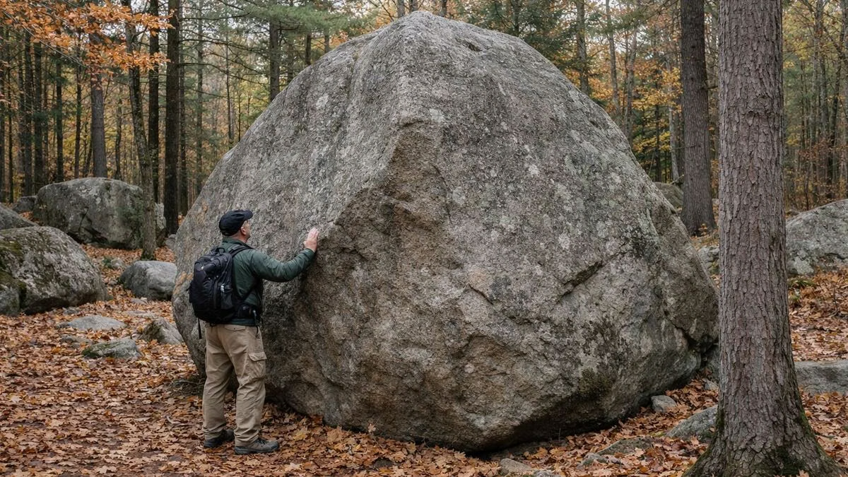
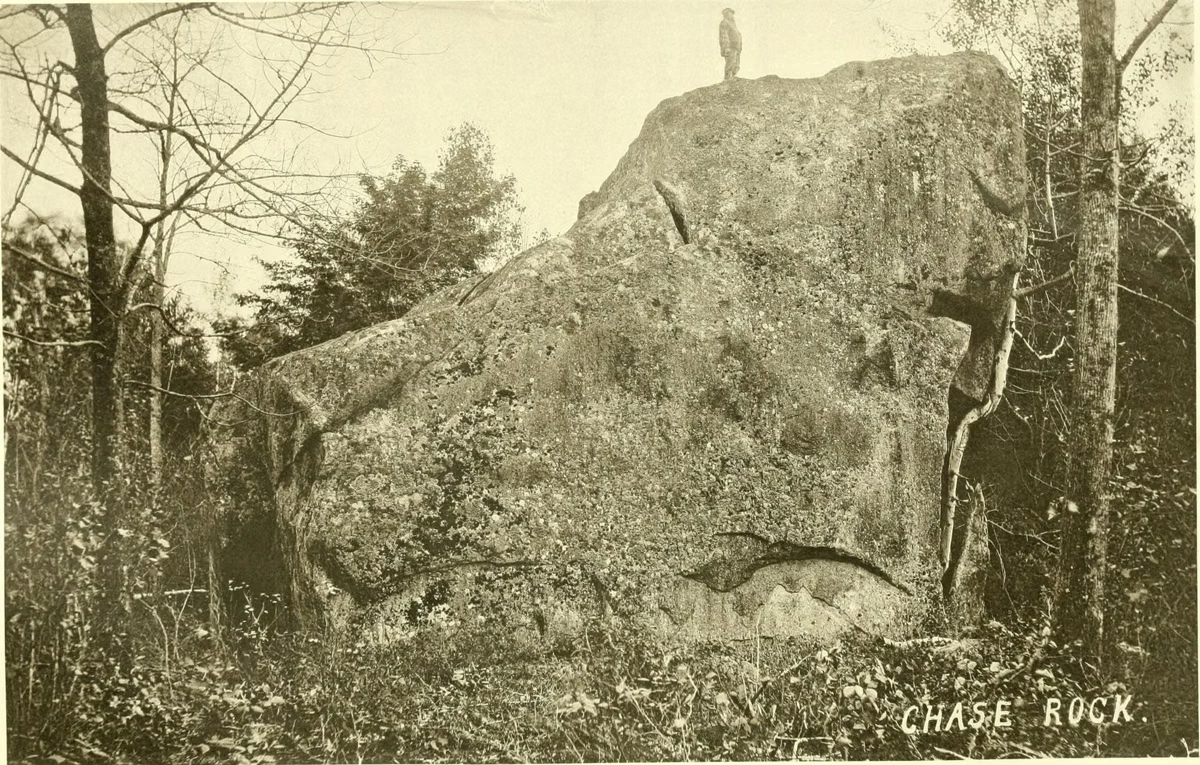
Long after the volcano, glaciers ground over the hills. They plucked huge blocks of monzonite, the gray granite-like rock of the ring, from the mountains and dropped them as the ice melted near the end of the Ice Age. Those glacial erratics make up the boulder field on the back side of the park.
Farms, Then Forest
People first settled the area in the late 1700s, according to the NH Natural Heritage Bureau. Much of the land in the Pawtuckaway Mountains was cleared for pasture, and most of it was abandoned by the mid-1800s, though some families lived there into the 20th century. Visitors came for the scenery early: in 1878 a large party that included the state geologist and the governor came to see the boulders.
The state began buying land in 1923 with 60 acres on Middle Mountain. The park now covers about 5,500 acres in Nottingham and Deerfield. In the late 1960s NH Fish and Game built Burnhams Dike to manage the water in Burnham's Marsh; in 2025, with the dike failing and beavers building on top of it, NHDES removed it so the marsh could return to its natural shape.
Why Botanists Care About Pawtuckaway
In 2001 the NH Natural Heritage Bureau analyzed every state-owned property in New Hampshire to find the highest-priority sites for ecological study, and Pawtuckaway was one of them, because of its geology. Field surveys from 2002 to 2004 recorded 6 exemplary natural community systems, 18 exemplary natural communities and 29 rare plant populations. For four of those plant species, Pawtuckaway holds the only known populations in New Hampshire, and in 2002 surveyors recorded Hitchcock's sedge in the state for the first time, on North Mountain.
Most of those finds, 85 percent, are on the ring dike, which covers more than 1,700 acres. The bureau explains that the ring's mafic and intermediate bedrock is what supports many of the park's rarest species and natural communities. The bureau calls the ring dike one of the highest concentrations of rare species and exemplary natural communities in the state.
The Forest Today
Most of the park is hemlock, beech, oak and pine forest. On the ridges, trees more typical of the central Appalachians and mid-Atlantic mix in: black, scarlet, white and chestnut oak, and shagbark and pignut hickory. The bureau describes Pawtuckaway as a transition zone between the two forests. Burnham's Marsh is where NH State Parks says beavers, deer and great blue herons are most active, early and late in the day; see hiking.
Who Runs the Park
Pawtuckaway State Park is run by the New Hampshire Division of Parks and Recreation, part of the Department of Natural and Cultural Resources. The division manages 94 properties across the state. The fire tower on South Mountain belongs to the state's fire lookout system, run by the NH Division of Forests and Lands.
About the Park FAQ
How old are the Pawtuckaway Mountains?
NH State Parks dates the Pawtuckaway ring dike to 130 to 110 million years years ago, in the Cretaceous period.
Was Pawtuckaway a volcano?
The mountains are the remains of an ancient volcanic ring dike, molten rock that rose through a circular crack and hardened. Erosion and glaciers have worn it down to a ring of low, rocky hills.
When did Pawtuckaway become a state park?
The state bought its first land there in 1923: 60 acres on Middle Mountain.
How big is Pawtuckaway State Park?
About 5,500 acres, in the towns of Nottingham and Deerfield, New Hampshire.
What is the highest point in Pawtuckaway State Park?
North Mountain, also called Mount Pawtuckaway, at 1011 feet.