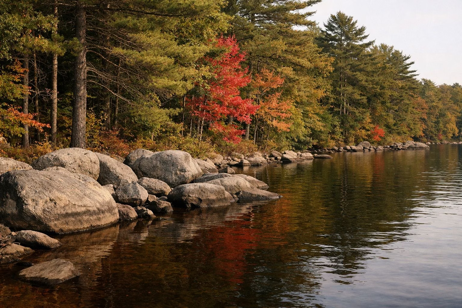
Pawtuckaway Lake
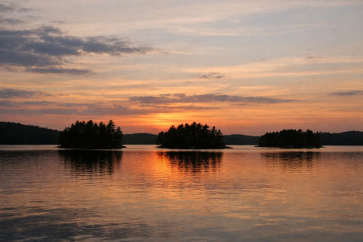
Pawtuckaway Lake is a 900-acre lake in Nottingham, New Hampshire, and Pawtuckaway State Park sits on part of its shore. State lake surveyors measure its deepest point at 15.2 meters, about 50 feet, but the average depth is only 3.1 meters, about 10 feet. Inside the park you can swim at the 700-foot beach, rent a canoe or kayak, and camp on the shore. The lake is full of islands and coves, and the park's campground sits on two of those islands.
The Lake at a Glance
The Lake by the Numbers
The New Hampshire Department of Environmental Services (NHDES) measured the lake for its Volunteer Lake Assessment Program. It lists 900 acres of surface water and 27,700 meters of shoreline, about 17.2 miles. The lake sits at 250 feet above sea level and drains a watershed of 13,248 acres, most of it forest. The NH State Parks video tour on the park's page notes the lake has plenty of islands and coves to explore.
Islands and Coves
Two of the lake's islands, Big Island and Horse Island, hold most of the park's campsites; see the campground guide. Neals Cove has more sites. Fundy Cove is an arm of the lake next to Burnham's Marsh. In April 2025 the NHDES Dam Bureau began removing the deteriorating Burnhams Dike at the marsh's northern outlet, because a failure would send debris and sediment into the lake near the Fundy Cove boat ramp and channel. Removing it lets the marsh return to its natural shape.
Is Pawtuckaway Lake Clean?
NHDES classes the lake as mesotrophic, meaning average: moderate nutrients and moderate algae. Its 2025 report says the lake does not exceed any New Hampshire water quality standard, but it scores below the median New Hampshire lake, and phosphorus, algae and water clarity have been getting worse since monitoring began in 1988.
NHDES reported a cyanobacteria bloom on the lake in May 2025 and asked residents to watch for more. Before you swim, check the NHDES Healthy Swimming map, which lists current beach advisories.
NHDES measured the water as moderately to highly tea-colored in May 2025, getting lighter as the summer went on.
Ways to Get on the Water
- Swim at the park's 700-foot beach.
- Rent a canoe, kayak or stand-up paddleboard at the park store, first come, first served; see boating.
- Launch your own canoe or kayak at the park's public launch.
- Fish for bass, pickerel, perch and crappie; see fishing.
A Map of Pawtuckaway Lake
NH State Parks publishes two maps that show the lake: the park trail map, which covers the lake and the mountains, and the campground map, which zooms in on Big Island, Horse Island and Neals Cove. Both are free PDFs. A walk-through of the trail map is on the trail map page.
Good For
- Paddlers who like to explore. The long shoreline means plenty of coves and islands.
- Warm-water anglers. NH Fish and Game lists the lake for bass, pickerel and white perch.
- A summer swim with the family at the state park beach.
Maybe Skip If
- There's a cyanobacteria advisory. Check NHDES before you go.
- You want clear, deep, cold water. Pawtuckaway is shallow on average and tea-colored.
Pawtuckaway Lake FAQ
How big is Pawtuckaway Lake?
900 acres, with about 17.2 miles of shoreline, according to the NH Department of Environmental Services.
How deep is Pawtuckaway Lake?
NHDES puts the deepest point at 15.2 meters, about 50 feet. The average depth is only 3.1 meters, about 10 feet.
Can you swim in Pawtuckaway Lake?
Yes. The state park has a 700-foot beach on the lake. Check the NHDES Healthy Swimming map for advisories first; NHDES reported a cyanobacteria bloom in May 2025.
Is Pawtuckaway Lake clean?
NHDES rates it average (mesotrophic). It does not exceed New Hampshire water quality standards, but it scores below the median NH lake, and its phosphorus and algae levels have been rising since 1988.
What town is Pawtuckaway Lake in?
Nottingham, New Hampshire. Pawtuckaway State Park covers land in Nottingham and Deerfield.