
Pawtuckaway State Park Trail Map
The official Pawtuckaway State Park trail map is a free two-page PDF from NH State Parks: one page of hiking information and one page of trails covering the whole park, from Pawtuckaway Lake to North, Middle and South Mountains. It marks the lookout tower on 908-foot South Mountain, the boulder field, Burnham's Marsh and Round Pond, plus parking, restrooms, the boat launch and the toll booth. Download it before you go; the short trailhead to the fire tower is off Reservation Road, a different approach from the main entrance on Mountain Road.
The Maps at a Glance
Download the Maps
- NH State Parks hiking map, 2023 (PDF). The trail map plus the hiking information sheet.
- Campground map and policies (PDF). Site numbers on Big Island, Horse Island and Neals Cove, with the campground rules.
Print it or save it to your phone before you leave home.
How to Read the Trail Map
The map lays the park out with Pawtuckaway Lake and its islands on one side and the ring of the Pawtuckaway Mountains on the other. The three summits are labeled with their heights: North Mountain 1011 feet, Middle Mountain 800 feet and South Mountain 908 feet, with the lookout tower marked on South Mountain. Round Pond sits among the mountains, and Burnham's Marsh is marked too.
Named trails on the map include the Mountain Trail, the Shaw Trail, the Fundy Trail, the Boulder Trail, the Tower Trail and the Big Island trail loop. Roads named on it include Mountain Road, the main entrance road, and Reservation Road, which leads to the small South Mountain lot at trailhead #6. The legend separates trails from woods roads, and marks gates, wetlands, the park boundary and the town line.
The symbol legend covers what you'll want to find: parking, restrooms and toilets, swimming, the boat launch, canoeing and kayaking, fishing, wildlife watching, camping and group camping, the camp store, the fire tower and the toll booth. A one-mile scale bar is at the bottom. The map notes that it is drawn to grid north.
The Hikes the Map Sheet Recommends
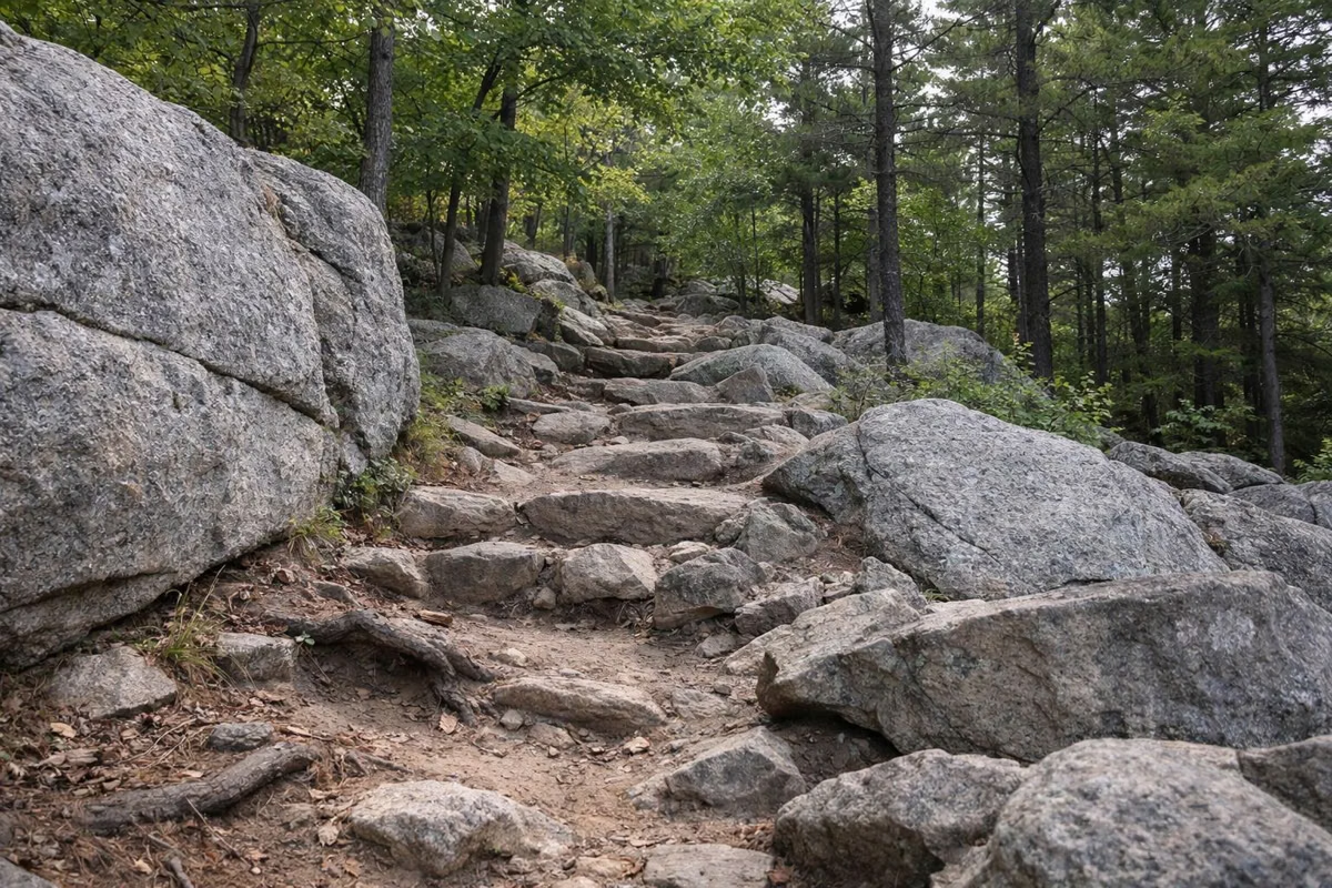
The hiking sheet that comes with the map points to three places. South Mountain: 2.4 miles to the 908-foot summit and its fire tower, starting at the Mountain Trail sign on the left just past Mountain Pond. The Fundy Trail, along Burnham's Marsh, best early or late in the day for beavers, deer and great blue herons; it starts across the road from the entrance to the group picnic and camping areas. And the Boulder Field, where glacial erratics are big enough for climbers to practice on. More detail is on the hiking page.
There is also a short way to the tower that the map sheet doesn't spell out: NH Forests and Lands sends hikers to a small lot at the base of South Mountain off Reservation Road, where trailhead #6 leads about 0.4 mile to the tower.
Rules Printed on the Map
- Respect the owners of private roads and land next to the park and its access trails.
- Don't cut standing trees, limbs, shrubs or any other plants.
- Carry out everything you carry in. There are no trash cans on the mountains or the grounds.
- Camping is allowed only in the campground, during the camping season.
- The parking lot at park headquarters stays open year round.
If You Get Lost
The map sheet's advice is S.T.O.P.: stop, think, observe and plan. Backtrack to the last place you knew you were on the trail if it is close. If you can't find it, stay put, take cover from bad weather and listen for whistles. Leave your plans with someone before you go, and keep children with you on the trail.
- Pawtuckaway State Park office: (603) 895-3031
- NH Fish and Game conservation officer, weekdays 8 to 4: (603) 271-3361
- Nottingham Police: (603) 679-1506. Emergency: 911
Who Keeps the Trails Up
NH State Parks maintains the trails with volunteers, including the New Hampshire chapter of the Appalachian Mountain Club, the Southern N.H. Snow Slickers and the Southern N.H. Mountain Bike Association. To volunteer, contact the park manager through the park office.
Trail Map FAQ
Where can I get a Pawtuckaway trail map?
NH State Parks publishes a free PDF hiking map for the park, dated 2023. Download it from the NH State Parks Pawtuckaway page, or use the link on this page.
Does the Pawtuckaway map show the fire tower?
Yes. The lookout tower is marked on 908-foot South Mountain, along with the Tower Trail and the Mountain Trail.
Is there a map of the Pawtuckaway campground?
Yes. NH State Parks publishes a separate campground map with every site number on Big Island, Horse Island and Neals Cove, plus the campground policies.
What is the highest point on the Pawtuckaway map?
North Mountain, at 1011 feet. South Mountain, with the fire tower, is 908 feet and Middle Mountain 800 feet.